Maps have made the world go round since the beginning of time. We are always trying to find our way to a different destination or a new place to explore, making maps crucial to helping us achieve those goals. Likewise, maps have been helping us learn about new places for thousands of years, helping us put together the world we live in today. So, let’s dive into the history of map-making!
The Oldest Maps to Date
Maps have been an integral part of people’s lives for thousands of years, with the history of map-making linked back to early 6100 B.C. The first world map was believed to have been created in the sixth century B.C. While many maps of cities or countries were created before this, a world map was new.
Maps helped explorers and travelers worldwide navigate new and unknown territory, making maps of any location valuable to all those who used them.
The First Map of the World

Created by Anaximander, in Greece, in the sixth century, B.C. he drew a map of the world and assumed that the earth was cylindrical. Because of this, the Greeks are credited with putting map-making on a sound footing for all those who came after.
These world maps were made repeatedly by hand to be shared with others. Map makers were tasked to with making accurate maps that would not derail anyone using it for navigation or exploration.
What is a Cartographer?
Cartographers draw and produce maps. The word cartographer comes from the Latin word “charta,” meaning tablet or leaf of paper, and the Greek word “graphein,” meaning to write or draw.
Cartographers know the history of maps and can be tasked with making a map of the world, a local bus route, or even buried treasure. While many cartographers aren’t drawing maps by hand today, they use map-making software to create the maps that we all use today.
How Maps Have Evolved
- Cave Walls
- Clay
- Global Positioning System (GPS)
Maps on Cave Walls

The first maps to ever be tracked were found on cave walls. It is believed that cave people would paint maps in caves to places they had been and things they had seen.
Clay Maps
Clay maps of places helped us shape the world we know today. Created by hand to show towns and rural areas, over time they continued to get more detailed, highlighting roads and water.
Printed Maps
Printed maps were created by engraving the location onto a material and transferring it to paper with ink. The first known printed map on paper was in Europe in 1472. The history of paper maps continued to evolve for years, staying in use for centuries. While many choose technology to navigate around today, some still prefer to use paper maps.
GPS Technology
The history of maps evolved substantially when GPS technology was launched. Created by the U.S. Department of Defense in 1973, GPS was initially meant to help submarines navigate. However, it evolved drastically as technology continued to evolve. Today, many use the GPS on their phones, navigating any location with the simple click of a button.
The great thing about GPS technology is that it even offers maps for different modes of transportation. Are you walking? Driving? Taking the bus? All this information is right at your fingertips, allowing you to find a new restaurant or go on a hike with ease. The options are endless, and everyone should take advantage of that.
How Maps Evolved for Other Uses
Maps have continued to be used all over the world and have evolved at a rapid pace. While their primary use is for navigation, maps also show data, including population, epidemics, and even weather-related events. In addition, maps are now used to offer a wealth of data on a city, state, or country level.

Different Types of Maps
- Topographical
- Thematic
- Navigation
- Cadastral
Topographical Maps
Topographical maps are a detailed record of a specific land area, giving geographic positions and elevations of natural and manufactured features. These maps show the shape of the land, including mountains, valleys, and plains, by using brown contour lines, which are in line with equal elevation above sea level. Topographical maps are drawn on large scales.
The history of topographical maps dates to the late 19th century. Originally used to measure a series of points in the field, they draw a terrain representation.
Thematic Maps
Thematic maps are focused on a single topic or specific purpose meant to portray the geographical pattern of a particular subject. Examples of thematic maps include weather, population density, and geology. Thematic maps were named because they show features relating to a theme in geography.
The history of thematic maps dates to the 19th century. Alexander von Humboldt invented a thematic map because he wanted to document animals and other geological specifics in the area he was traveling.
Navigational Maps

Navigational maps are meant to help us get where we need to go in the air or across the sea. Maps of the ocean and air are generally referred to as charts. These charts are meant to include information vital to avoiding accidents, showing things like submerged rocks.
The history of navigational maps was first discussed in 1270. Phoenician sailors accomplished navigation by using charts and observations of the sun and stars to determine directions.
Cadastral Maps
Cadastral maps are precise maps used to detail information when houses or lands are surveyed and joined together to create a more extensive scale. Town planners and surveyors are the primary users of cadastral maps.
The history of cadastral maps is one of the oldest forms of mapping, tracing back to the ancient Egyptians who were known to have developed cadastral records. They created and used these maps to establish ownership of land after the River Nile flooding.
Modern Navigation
While technology has been at the forefront of everything in the modern-day, many different techniques created are still used today. For example, navigation tools help people worldwide travel successfully by land, sea, and space. Most modern navigation relies on positions determined electronically by receivers that are collecting information from satellites.
Most Popular Maps Used Today

As discussed, the history of maps is long and detailed and keeps changing at a rapid pace. Most people will continue to use their smartphones, making it one of the most popular map options used today. This advanced technology sits in the palm of your hand, giving you turn-by-turn navigation to just about anywhere you need to go.
It includes different functions to help you locate your favorite restaurant or set you up for your next road trip; maps are crucial to helping us navigate the world around us. The history of these maps has created this database for us by taking these map collections, building them out, and improving them.
The Power of the Map
As discussed above, maps have given us more than just a route to get from point a to point b. They have given us endless amounts of data and continue to teach us about places that we didn’t even know existed. Thus, the history of maps is significant as they have laid the foundation for everything we know today, including helping us navigate through land, sea, sky, and space.
The Appeal of Wood Maps
Wood maps continue to be very popular today. They are stunning works of art that re-create different places throughout the world. They are perfect for commemorating a recent trip and make a stunning décor piece to add to your home. They are also the perfect gift to share with loved ones offering maps of the Great Lakes to Martha’s Vineyard and much more.
Reasons to Buy a Wood Map
- Travel
- Decoration
- Education
- Gift
Traveling or Planning a Trip
If you have recently gone on a trip or are planning your next adventure, a wood map is an excellent addition to your home. Not only are these wood maps crafted with great detail, but they are also the perfect way to choose your favorite spot and share it with everyone who enters your home. Whether it’s a map of the Outer Banks, a map of New Orleans, or a map of one of the coasts, these conversation starter pieces are the perfect keepsake.
Decorating Your Home with Wood Maps of Different Destinations
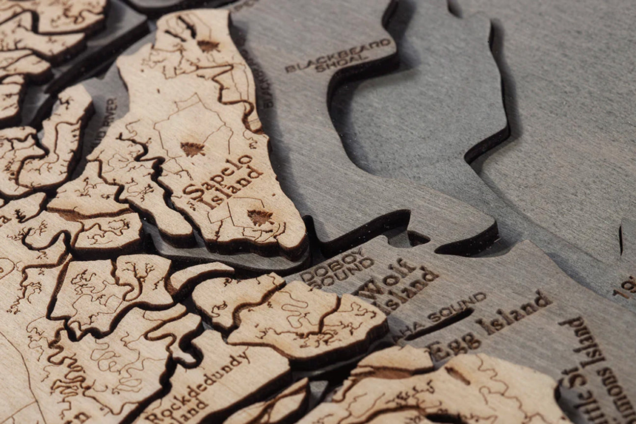
Wood maps are intricately made with a lot of time, effort, and extreme attention to detail. This detail creates a one-of-a-kind piece meant to start a conversation and add a unique focal point to your home that will last for years to come.
Teaching a Thing or Two
That’s right, education! Wood maps are so detailed that you may even learn a thing or two about their subject. For example, while you may visit Boston every year, do you know every part of the harbor that exists? Wood maps of Boston pride themselves on the bathymetric details and offer a unique learning opportunity! Check out a map of Boston Harbor today.
Gift Giving
Wood maps are a great gift option. If you recently went on a trip with family, you may want to grab one for yourself and them as well so you can both reminisce about a beautiful trip together. Many people who move or travel often have a favorite place they love to visit. A wood map of that place would be a great gift reminding them of memories and commemorating a place they love.
Different Types of Wood Maps
- Cork Board
- Cribbage Board
- Serving Tray
- Wall Art
- Wall Clock
Cork Maps
Cork maps offer stand-alone style and are a great option to memorialize your latest trip. Whether it be a map of the California coast or the island of Maui, we have many options to suit your wanderlust! Start a collection that helps you commemorate all your adventures and display them throughout the house!
Cribbage Boards
Cribbage boards have come a long way since they were first created. How cool would it be to take out a cribbage board to play with friends and have a beautifully engraved map of your favorite place right at the center of it? It is the perfect item to add to your game collection or give a gift to a fellow cribbage lover!
Serving Trays
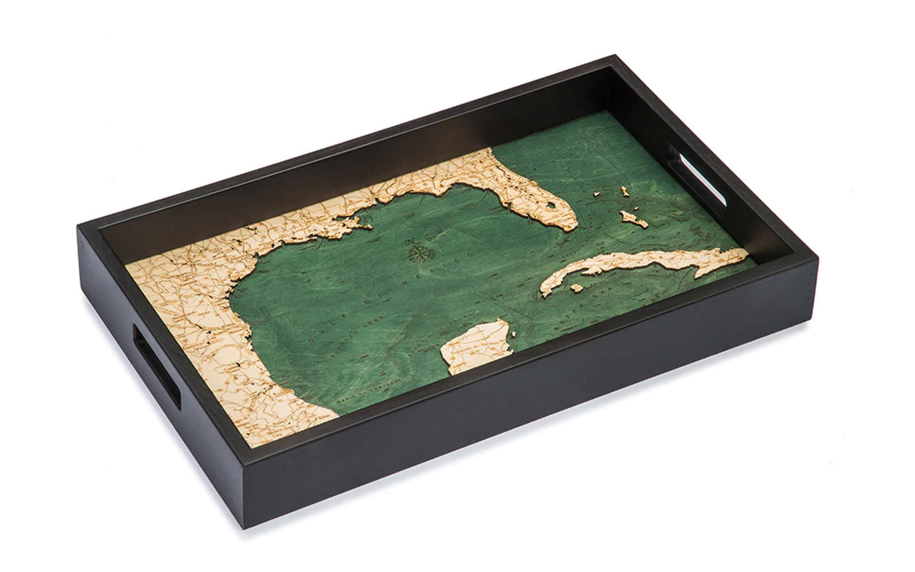
These serving trays are a conversation piece. As you place a few items on there for your guests, leave it out so they can see the map of your happy place is underneath as items are removed. The detail is one-of-a-kind, and these trays are the perfect item to have in your home when you host. These are also a great gift option for someone who has just bought a home.
Wall Art
If statement pieces are for you, one of these wall art pieces are a perfect choice. They come in numerous sizes, so be sure to measure the space you want to fill to ensure your piece will fit there perfectly. Make sure to display it with pride and prepare to have many conversations about it—guests are sure to ask questions about the trip that inspired your purchase!
Wall Clocks
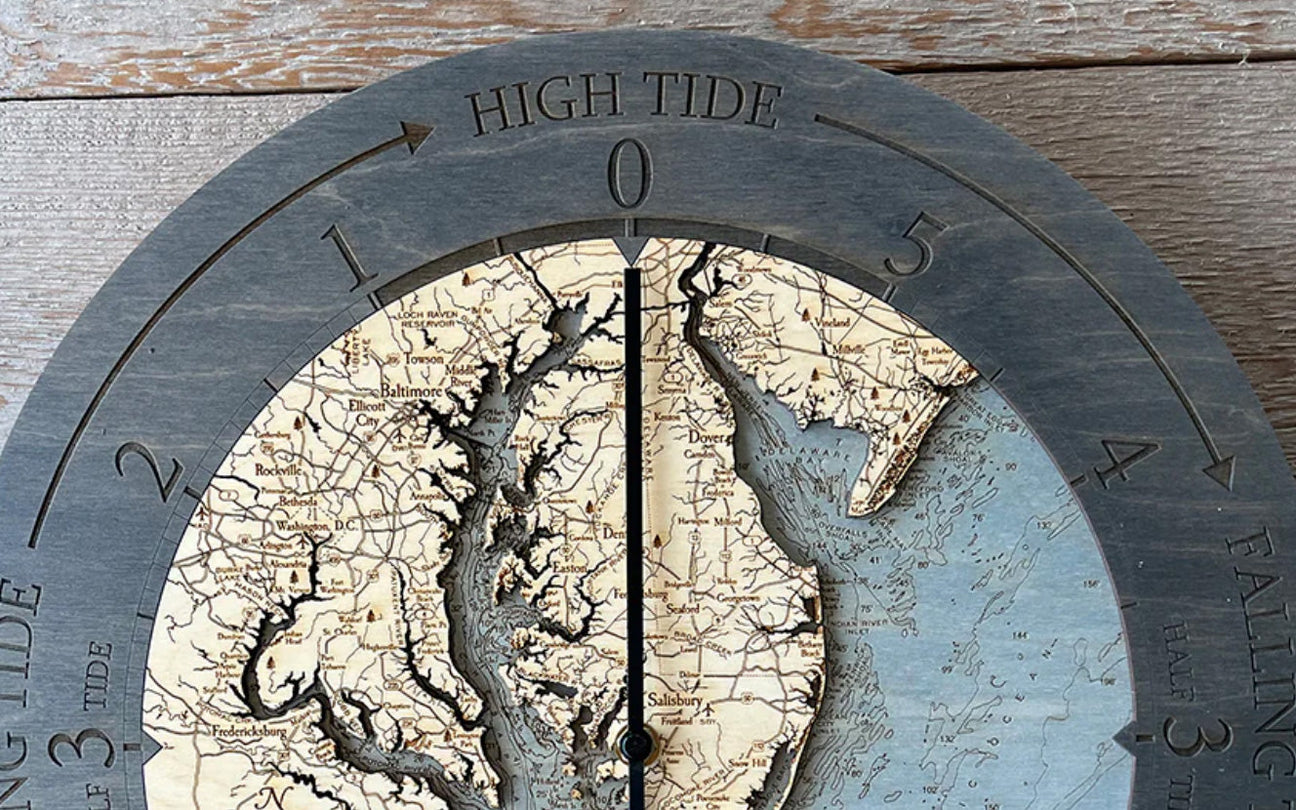
Another way to show off these gorgeous etched wood maps is with a wall clock! These clocks are unique in every single way. So, it will be easy to find the perfect spot in your home to show it off while also inspiring yourself with a map of one of your favorite places.
How Maps Changed Your Life
 As you can see, maps have been changing our lives for thousands of years, and we probably don’t even realize how valuable they have been! This history of maps is crucial to study and remember, as it got us to where we are today. While we may read and see data in many different forms, much of this data is compiled using the different types of maps that have been created throughout history.
Thanks to the hard work of cartographers and all those in history with a craving for exploring the unknown and documenting it, we have been able to dream about visiting destinations that we wouldn’t have known existed otherwise. Cartographers will continue to explore and teach us more about the world than we could ever imagine. The history of maps and their correlation with cartography bodes a fascinating story.
Don’t let the opportunity to own one of these gorgeous, high-quality wood maps pass you by. The history of these maps holds countless memories from generation after generation. Your wood map is meant to take you back to the smells, sights, and feelings of your trips, keeping the memories fresh.


