The City That Works. The Windy City. Chi-Town. Whatever you call the great city of Chicago, it is known for its incredible heart and a sense of community pride.
This “city in a garden” has long been known for its position within an impressive and historic park system. It is captivating and vibrant city for sure, but don’t be fooled – Chicago also has 26 miles of lakefront with beaches to keep the urban vibe cool.

Home to over 2.7 million residents, Chicago is the third-largest city in the United States. Tourists come from all over to explore the city’s architecture, take a selfie with The Bean, and dive into Chicago-style pizza.
Check out a Midwest map of the city, and you will see it contains block after block of galleries, boutiques, and art museums, not to mention the notable eateries!
There are so many things to do and see in and around the heart of Chicago. If you are looking for historical significance and must-see attractions, The City of Big Shoulders has everything you could possibly want wrapped up in 234 square miles of land.
Chicagoland offers a full itinerary of incredible sights and sounds. Here are five fun facts that will make you fall for the Windy City.
5 Fun Facts About Chicago
- The Chicago River was Reverse Engineered to Flow into the Mississippi River
- You Can Explore the Most Magnificent Mile
- You Can Get Your Kicks at the Beginning of Route 66
- The First Woman to Win the Nobel Prize was from Chicago
- Chicago is a City of Impressive Inventions
A River Runs Through It… Backward
The Chicago River originally flowed through the city and dumped into Lake Michigan. As the city grew, this became a problem due to sewage and other factors related to a growing metropolis like commercial navigation.

In 1900, through an engineering marvel of canal locks, the river flow was redirected to take water from Lake Michigan, run through the city, and empty the water in the new canal system, which emptied into the Mississippi River and, ultimately, the Gulf of Mexico.
This feat of civil engineering has been recognized as recently as 1999 by the American Society of Civil Engineers as a “Civil Engineering Monument of the Millennium.” The river is key to the success of the city of Chicago and is represented on the municipal flag of Chicago by two horizontal blue stripes.
In addition, its three branches create a Y-shaped symbol seen on buildings throughout the city and any topographical map of Chicago that you find. Chicago celebrates the river as the inspiration of the Municipal Device.
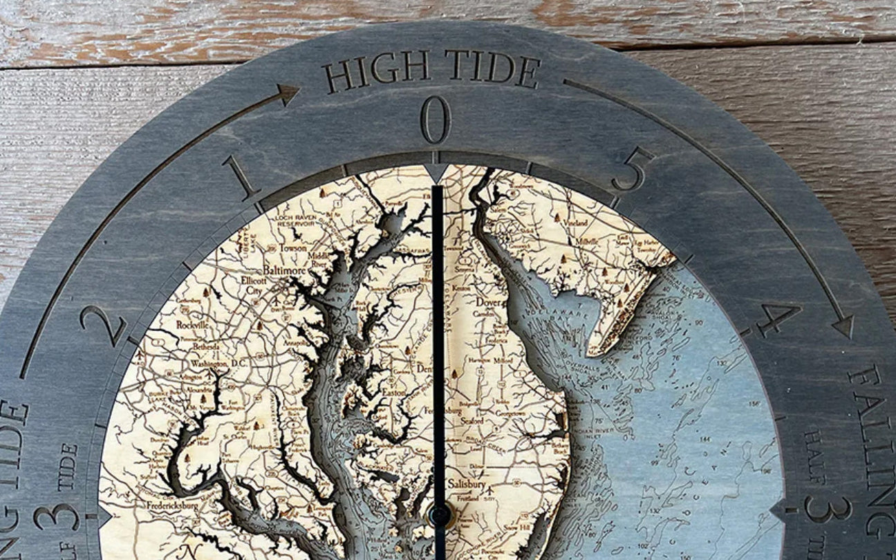
A hallowed tradition for Chicagoans is turning the river green each year for St. Patrick’s Day! A wood map of the river shows how it splits through the city, and then runs north and south, allowing residents all along the river to enjoy the celebration.
If you check out the bathymetry and topography of the Chicago River on a Midwest map, you will see that the river glides past some notable landmarks. As the river flows west from Lake Michigan, it intersects the North Branch at Wolf Point.
As it continues, the river passes Nicholas J. Melas Centennial Fountain, Fort Dearborn, NBC Tower, Wrigley Building, Murdoch & Co Building, and 333 Wacker Drive.
Finally, the south shore offers the Chicago Riverwalk, a peaceful escape from the busy Loop and favorite of Chi-Town residents and tourists.
The Magnificent Mile is All That and More
Some would argue you have never had proper retail therapy until you have shopped The Magnificent Mile. This popular attraction, clearly etched in a wood map, is the ultimate swan song, originating as an area filled with unattractive warehouses and factories.

The Greater North Michigan Avenue Association (now The Magnificent Mile Association) believed its day would come when they optimistically dubbed this stretch The Magnificent Mile. A long way from its inception, the Mag Mile now features a mixture of upscale department stores, restaurants, luxury retailers, and commercial and residential buildings, including 5-star hotels.
While you will not see the high rises and industrial buildings on a topographical map, the sight-seeing, shopping, and entertainment venue hosts over 22 million visitors every year. Over 3.1 million square feet of retail space, restaurants, and hotels accented by trees and flower-filled medians caused The Magnificent Mile to emerge as one of the Ten Great Streets of The American Planning Association.
The Best Metropolitan Shopping in the Midwest
Are you looking for Armani, Channel, or Burberry? Come to the high rent district. The Magnificent Mile is the third-highest rent district in the United States, falling just short of Fifth Avenue in New York City and Rodeo Drive in Beverly Hills.
Other Shops Featured on the Mile
- Cole Haan
- Hugo Boss
- American Girl
- Dolce & Gabbana
- Tiffany & Co
The Magnificent Mile is not a one-trick pony, offering only shopping and fine dining. Instead, it is a multidimensional attraction, hosting seasonal activities and events to bring more people to the area for… shopping and fine dining.
No matter what time of year, you will find festivals and events that keep you coming back for more than just another Gucci purse or coffee from the largest Starbucks in the world.
Celebrate All Seasons on the Magnificent Mile

In the spring, the median garden beds are filled with thousands of tulip bulbs and sculptures for a kinetic installation. During the summer, treat yourself to a self-guided walking tour and be delighted by the fashion installations created by students from the Illinois Institute of Art and prominent designers located along the Avenue.
Christmas cannot start until Mickey and Minnie Mouse promenade down Michigan Avenue, lighting the trees on each block as they go, signifying the start of the holiday season.
The Historic Route 66 Starts in Chicago
If you want to get your kicks on Route 66, you will need to know where it starts. And even that has a storied past! In 1926, Route 66 began in Chicago at the intersection of Jackson Boulevard and Michigan Avenue. So then why does the Begin Historic Route 66 sign stand at the corner of Michigan and Adams? The sign was relocated because, in 1957, Jackson Boulevard was made into a one-way eastbound street, so the beginning of this fabled route had to be moved over by one block.

Follow Route 66 on your Midwest map heading west, and your journey will take you to Los Angeles, California. The ending is just as storied as the beginning.
The Historic Route 66 originally ended at 7th and Broadway in Downtown Los Angeles, miles away from the ocean. In 1936, Route 66 was extended but still fell short of a dramatic conclusion as it uneventfully ended at the intersection of Olympic and Lincoln Boulevards.
After changing the end of the route in 1936, it was evident that the ocean would be needed as a resolution at the spiritual and physical end of the road. Therefore, the “End of the Road” sign was added at the Santa Monica Pier.
Break out a topographical map to follow the adventure of Route 66 through many states, including:
Route 66 Passes Through These States
- Illinois
- Missouri
- Kansas
- Oklahoma
- Texas
- New Mexico
- Arizona
- California
Is It the Lake or Politicians Causing the Wind in The Windy City?
The Mother of Social Work, Jane Addams, claimed her Nobel Prize in 1931 as an internationally respected peace activist. She was the first woman to receive the Nobel Prize and her work sparked notice from politicians in Chicago when she established the first settlement, Hull House, in the poor, industrialized west side of the Windy City, easily identified on a Midwest map.
Rumor Has It

Activists and politicians have long been a hallmark of this innovative and cosmopolitan city. In fact, they have often been blamed for the moniker, The Windy City, as the residents and politicians were accused of being “windy” when it came to extolling the virtues of Chicago.
But some historians say that the origin of the nickname comes from the wind that blows off Lake Michigan. On a wood map of this Midwest city, you will note just how much of the city was built along the lake. The lake breezes have long been promoted in making this lakeside city a vacation destination.
The Navy Pier is a particular favorite destination along the shoreline of Lake Michigan. A Midwest map highlights this iconic attraction, home to the Centennial Wheel, which offers stunning views of the city skyline and Lake Michigan. Everything you enjoy on your topographical map can be seen from a bird’s eye view as well!
So, is it Jane Addams and other activists putting Chicago on the map for all the best reasons and maybe a little blustering? Or is it weather-related nuances sweeping across Lake Michigan and blowing through the streets of the city that keep us coming back to The Windy City? You will have to visit and make the call.
Chicago is Home to Some Electrifying Inventions
Chicago is synonymous with invention. The electrifying Chicago’s World Fair was held in 1893, and after the exhibition of the widespread use of electric power, the Windy City was recognized for its revolutionary achievements.
Chicago even has its own Chicago Student Invention Convention. While some inventions have been technological giants, the City That Works has a lighter side, offering inventions including:
Other Inventions from Chicago
- roller skates
- Crackerjacks
- zippers
- pinball
- spray paint
- softball
- the Twinkie
The inventive spirit of Chicago runs deep! Even though Chicago is commonly known as the “Second City,” it appears it certainly has more than its fair share of firsts.
More first accomplishments include the invention of the Ferris wheel, deep-dish pizza, the brownie, and the skyscraper! All Chicagoans know that the inventive spirit runs deep within the city, and inspiration is at every turn.
Savoring a Trip to Chicago
One adventure through Chi-Town can never be long enough! There is so much to see and do, and it seems impossible to capture the whole experience in one trip.

The best way to commemorate your inventive journey through the Windy City is with a topographical map. You will not find another Midwest map with the attention to detail found on the home décor wood map.
Your eyes will wander along the coastline of Lake Michigan, and you will recall the days you spent sunning on the beach near Lake Shore Drive.
The bathymetry found on a wood map is precise and awe-inspiring! The wood map will remind you of the boat trips out on Lake Michigan, and you will see the depths of the waters where you sailed, detailing the mysteries of what lies beneath the surface.
The shallows will be highlighted as well, and you will see the sandbar where you took a picnic and opened the first Twinkie you have eaten in years. It hasn’t changed a bit!
When you bring home the Midwest wood map of Chicago, you will introduce the inspiring, ultra-inventive vibe into your home that you felt during your stay in the city. The topographical map will elevate your current décor, and you will feel, in a way, that you have invented a whole new you! Do not underestimate the power you have within you to reinvent and reignite the wonder of exploring new places simply by gazing at your wood map.
If a trip to Chicago is not on your To-Do list yet, take a moment to explore a high-quality wood map of the city of Chicago. The topography alone will fascinate you, and you can study the road map landmarks etched into the Midwest map.
For the Chicago area, you will be delighted to see many of the famous attractions highlighted, including:
Points of Interest on a Wood Map of Chicago
- Lincoln Park
- South Side
- Edgewater
- Hyde Park
- Avalon Park

As you study a Midwest map, you will see Lincoln Park and recall the lush greenery and the stunning stretch of Lake Michigan shoreline along the south end. The north end of the park will visually leap out with detail on a topographical map as you recognize the parkland, beaches, recreational reserves, and harbors.
Just looking at the wood map and visually wandering the streets of The Loop will inspire action. You will be dialing up the travel agent in no time as you invent a reason to visit Chicago
A Midwest map will go a long way in keeping the excitement of Lake Shore Drive and Michigan Avenue alive as you visually explore the streets and remember the sights, smells, and the way you felt when the L lumbers past.