Florida, known as the Sunshine State and the home of “The Happiest Place on Earth,” is a captivating tapestry of vibrant landscapes, picturesque coastlines, and diverse ecosystems. Known for its stunning beaches, lush wetlands, and iconic attractions, the state has a distinct appeal that attracts millions of visitors each year. The beautiful water that surrounds this state makes it a perfect choice for recreating in topographic wood maps.
How are Topographic Wood Maps Made?
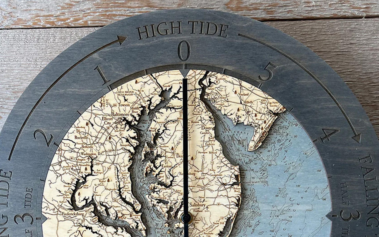
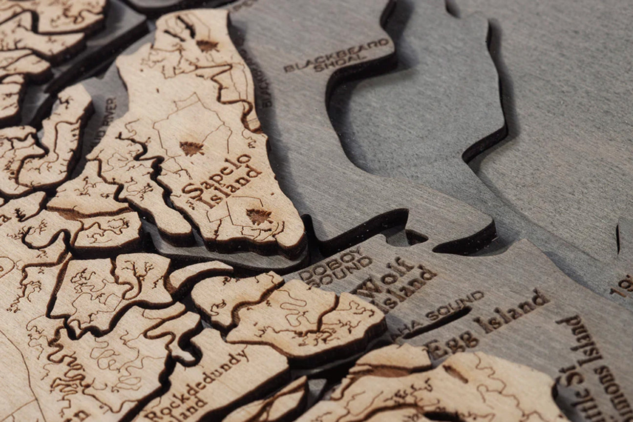
A wooden topographic map is a three-dimensional representation of a geographical area made from the layers found in a bathymetric chart. These maps are made by carving or laser-cutting multiple layers of high-quality wood to depict the varying elevations, contours, and terrain features of a specific region. Each layer represents a different elevation level, and when stacked together, they create a detailed representation of the landscape.
What Makes Wooden Florida Maps Special?
Wooden topographic Florida charts are not only functional but also serve as decorative pieces. They combine the features of a traditional topographic Florida map with the tactile and aesthetic qualities of wooden craftsmanship for a beautiful work of art.
They are often used for outdoor enthusiasts as wall art or unique gifts, as they provide a tactile and visually engaging way to explore and understand the topography of a specific area.
What is the Best Wood to Use for Maps?

When choosing wood for a Florida chart, there are several factors to consider, including durability, aesthetics, and ease of working with the wood. Some popular wood options commonly used for wall maps are:
- Birch
- Hardwoods
- Pine
- Bamboo
Birch is a popular choice for wood maps due to its durability and stability. It has a smooth surface and is known for its high strength-to-weight ratio. Birch plywood is often used for laser cutting or carving intricate map details.
Hardwood species such as oak, maple, or walnut can provide a beautiful and luxurious look to wall maps. These woods offer natural variations in color and grain patterns, adding visual interest to the map. Hardwoods are generally sturdy and can withstand the test of time.
Pine is a softer wood option that is widely available and relatively affordable. It has a light color and can be stained or painted to achieve the desired aesthetic. Pine is a good choice if you prefer a more rustic or casual look for your wall map.
Bamboo is a sustainable and eco-friendly wood option that has gained popularity in recent years. It has a unique grain pattern and a light, contemporary appearance. Bamboo is known for its strength and can be a durable choice for wall maps.
Florida Maps as Art
Wood maps are more than just decorative pieces; they are works of art meticulously crafted to showcase the intricate details of Florida's geography. Each map is made from high-quality birch wood, ensuring durability and longevity while highlighting the natural beauty of the wood itself.
Using advanced laser-cutting technology, artists meticulously carve out the intricate contours, water bodies, cities, and landmarks on these Florida maps, resulting in stunningly accurate and visually striking representations.
At Wood Chart, our Florida maps begin as bathymetric charts of each coastline, lake, or region. A bathymetric chart is a topographic map of an underwater area that details the elevation changes and geography of a lake, river, ocean, or other wetland.
Once the bathymetric Florida chart has been created, each layer of wood is intricately laser-cut to match the levels of the water landscape. The wood is then stained with a bluish green to differentiate between the water and the land, important landmarks are added, and the layers are seamlessly glued together to create a portrait of your favorite locations.
Florida Maps: Exploring Wood Maps
When you explore a wooden Florida map, you embark on an insightful journey through the state's diverse regions.
Let's dive into some key features you can expect to discover on these exquisite Florida charts:- The beauty of the Florida coast
- Cities and landmarks
- Ecology of the Sunshine State
- Florida waterways
Coastal Beauty on Florida Maps
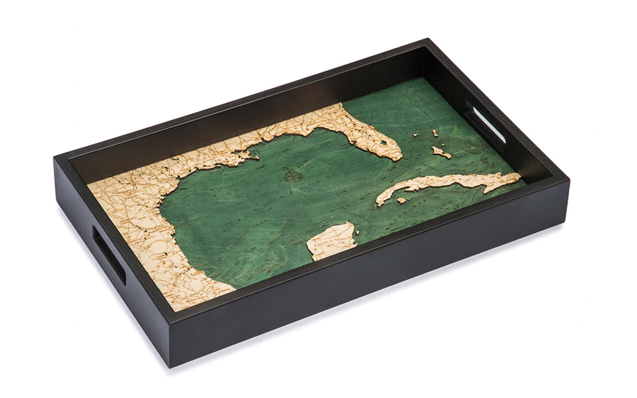
Florida is renowned for its mesmerizing coastline, stretching along both the Atlantic Ocean and the Gulf of Mexico, beautifully shown on our Gulf of Mexico Serving Tray. Wood maps beautifully depict the intricate details of the shoreline, capturing the charm of famous beach destinations such as Miami, Fort Lauderdale, Clearwater, and Key West. These maps also highlight the many captivating islands dotting the Florida Keys, each a paradise waiting to be explored.
Florida Chart Cities and Landmarks
Florida is home to vibrant cities bustling with life and culture. Wood maps skillfully showcase the major cities and towns across the state, from Panama City Beach and Tampa on the Gulf of Mexico to Jacksonville, Orlando, and Miami, and down the Atlantic Ocean to the Everglades, Biscayne Bay, and Key West.
These Florida maps also feature iconic landmarks such as the Kennedy Space Center, Everglades National Park, and the captivating theme parks of Orlando, like Walt Disney World and Universal Studios. With a wood map of a Florida chart adorning your walls, you can admire the essence of these remarkable places and your memories or dreams of visiting into your home or office.
Serving trays are also a fabulous choice for giving as a gift. With major roadways, landmarks, and waterways highlighted on each piece, it makes it easy for recipients to find their favorite locations on their maps. Need help finding the right tray? We put together a complete guide to choosing the right serving tray.
Ecological Gems of Florida Charts
Beyond the cities and coasts, Florida charts boast a remarkable array of ecological wonders. The Everglades, a UNESCO World Heritage site, is a sprawling wetland teeming with unique flora and fauna. The wood maps of Florida beautifully depict this natural wonder, allowing you to appreciate its vast expanse and intricate network of waterways. Additionally, you can explore other natural treasures like the Ocala National Forest, the Florida Keys National Marine Sanctuary, and the stunning landscapes along the coast, all from the comfort of your home.
Wood Maps: Waterways and Inland Charm
Florida is synonymous with water, with countless rivers, lakes, and springs weaving their way through the state. Detailed wood maps intricately portray the St. Johns River, the Suwannee River, and the vast Lake Okeechobee, among others.
One of the things that highlight the quality of wood maps by Wood Chart is the stunning detail of each Florida chart. While it would be easy to outline some of the more prominent coastlines of Florida, the talent of Wood Chart is in the details.
Whether you're searching for a way to showcase your favorite locations on a Florida map or want to surprise a friend or family member with a meaningful gift, Florida charts are a great option for any occasion!


