


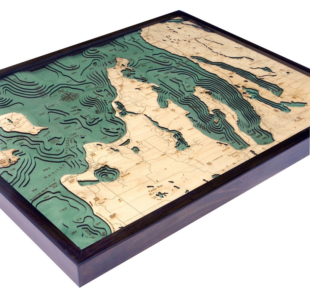

Grand Traverse Bay 3-D Nautical Wood Chart, Large, 24.5" x 31"
Let the sweet fragrance of local grapes and cherries awaken your senses while you relax on the shores of Grand Traverse Bay. Traverse City, one of the best small town travel destinations in the country, is known as the cherry capital of the world and is a wonderful destination for families, couples, and friend groups alike.
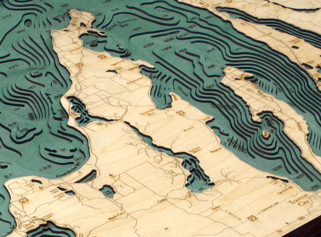
Grand Traverse Bay was formed by the Leelanau Peninsula and is divided into several smaller bays by the arms of the Old Mission Peninsula. A historic lighthouse marks the entrance to the bay, which got its name from eighteenth-century French explorers who crossed the bay in what they called la grande traverse (or the long crossing).
Our incredible 3D wood map captures the unique topography of the bay. The laser-cut high-quality birch layers are glued together to create the vibrant, detailed dimensional effect you won’t find with any other map. Stain is applied by hand to the water sections of the wood map, and points of interest, roads and other locations are identified and etched into the birch’s surface. A custom wood frame and acrylic layer complete the 3D wood map.
Recall wonderful memories of this beautiful bay with our 3D nautical wood map.
Points of Interest on Grand Traverse Wood Map:
Leelanau State Park, The Grand Traverse Lighthouse, Northport, Old Mission Peninsula, Sleeping Bear Bay, and Traverse City
Grand Traverse Bay Wood Map Details:
- Made of high-quality birch
- Solid wood frame made to fit
- Laser-cut depth
- Engraved names and locations
- Acrylic glass protection
- Arrives ready to hang