Topographic maps provide information about the world around us. Each topographic map helps us plan a new adventure, prepare for a natural disaster, build infrastructure, or test new ideas. We want to help! Whether it’s planning for your next vacation, building your dream home near Lake Tahoe, or hiking by Eagle Mountain Lake in Texas, we have you covered.
What Are Topographic Maps?

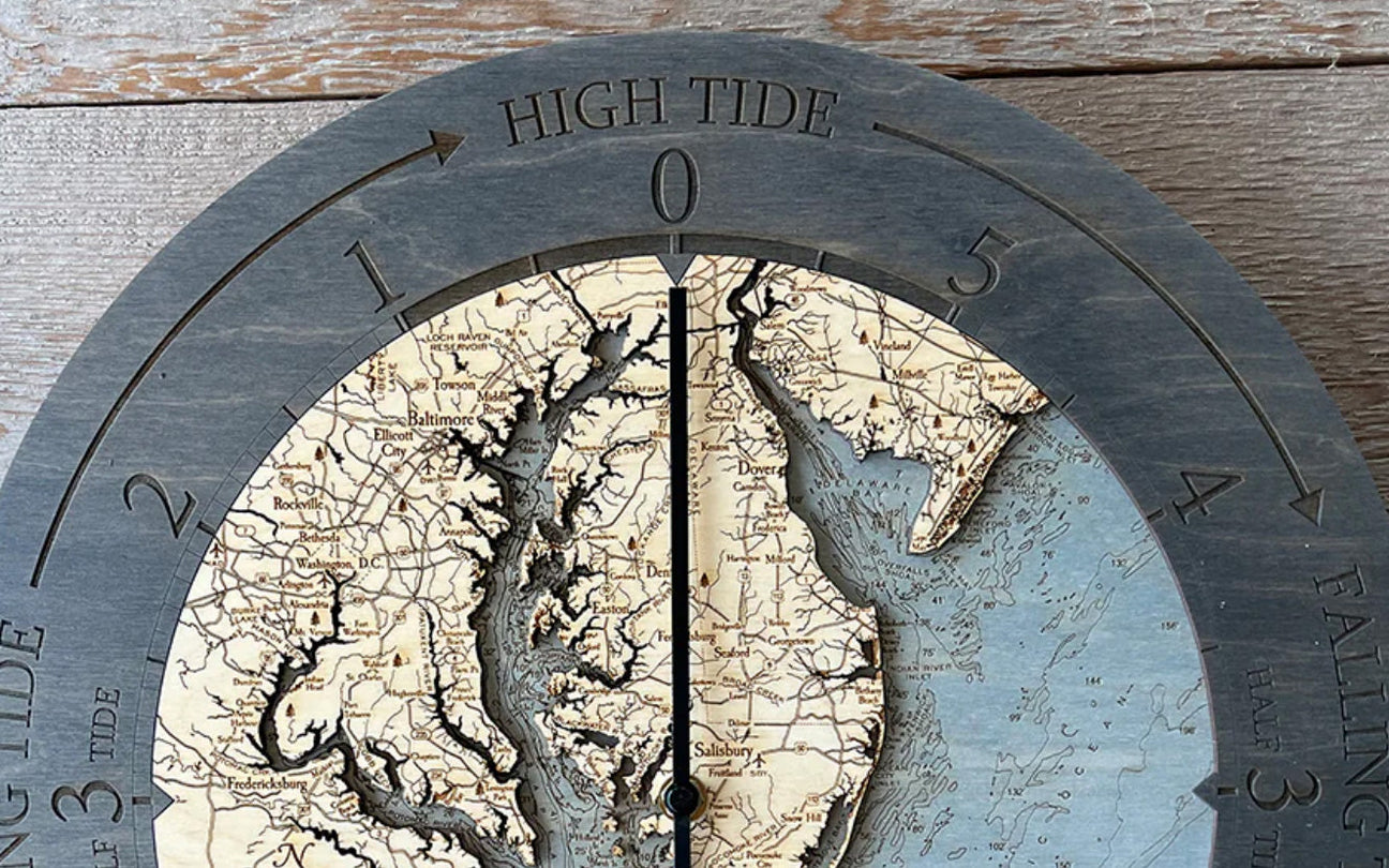
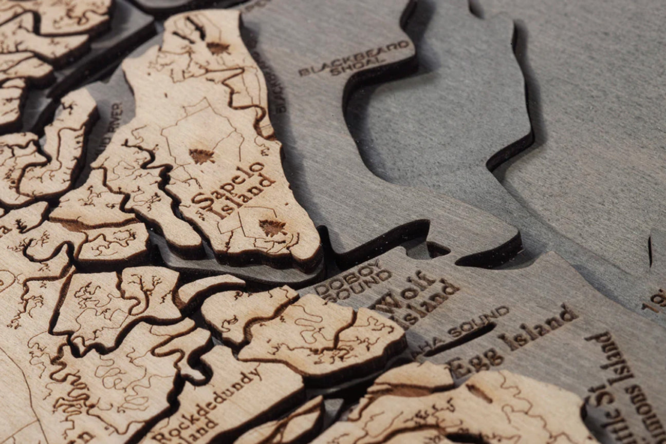
A topographic map is an accurately detailed illustration of man-made and natural features. These features include roads, rivers, and mountains, to name a few. Land features in green, mountains in grey, and bodies of water in blue; these maps are stunning pieces of art.
The First Topographic Map
A British mathematician named Charles Hutton is credited with the invention of contour lines by creating a survey of a Scottish peak called Schiehallion in 1774. France created the first-known topographic map of an entire country in 1789. It was a multi-page topographic map referenced as the first complete set.
The U.S. Geological Survey (USGS) was created in 1879 and published its first topographic map in 1882. The maps were made using data from primary sources, including direct field observations. Once submitted, they were compiled, drawn, and then edited by hand.
5 Unique Ways to Use a Topographic Map
- Hiking
- Emergency planning
- School projects
- Planning construction
- Infrastructure
Planning the Perfect Hike!

That’s right! Hikers use topographic maps to plan their routes, stay alert on rough terrain, and create a safe but enjoyable adventure. Another perk of these maps for hikers and backpackers? They can plan water breaks based on where water is located on the route, locate campsites, and track their progress.
Emergencies and Natural Disasters
Knowing different paths and shelter options helps states plan for natural disasters by preparing evacuation routes and setting up resource centers. These elevation maps also help plan if the surroundings could cause a natural disaster. For example, if your state is at risk for flooding due to bodies of water around you, it’s imperative to have planned evacuation routes and resources on hand in case it’s needed. This helps protect the land and the people on it.
Present the Best School Project!
This is one of our favorite ways to use a topographical map because the possibilities are endless. Have you gone on a hike with your family recently? Take your class on your most recent adventure! Looking to take your project a step further? Perform a flood analysis by determining landslide-susceptible areas of a town. These maps provide us with detailed information allowing us to simulate natural disasters and teach us new things about our area.
Start Planning Construction

Do you own land? Are you planning to build your dream home or a storefront for your business? Construction can’t start without knowing the type of land you are building on and its elements. Is it level? Is there water nearby? It’s essential to be aware when planning for water, sewage, and other necessary pipes and resources needed for the construction. Elevation maps also help you to avoid areas that can be detrimental or severely delay your build.
Preparing for Infrastructure
Just like construction, infrastructure requires a lot of planning and preparation. While construction is generally one area, infrastructure can go through an entire state or even numerous states. Using topographic maps allows state and federal governments to plan new routes for infrastructure and ensure that proper land is secured.
Topographic maps also provide knowledge about locations with high elevation, historic lands, rivers, lakes, and other bodies of water. This allows planners to ensure everything is considered so they can avoid delays and having to change the plan after the project begins. Therefore, it’s imperative to gain this data and use it to ensure no issues will arise.
What Are Elevation Maps?

Elevation maps show various elevations throughout the region on a map. Measured in meters or feet, these maps also include sea-level elevation. Contour lines are used to show the elevation in these maps.
Elevation maps are based on large-scale surveys of topography. In 1857, the British Raj is believed to have successfully determined elevations on a larger scale by creating an elevation map showing the Himalayan peaks with over 100 miles of viewpoints.
Common Uses of Elevation Maps
Elevation maps have numerous uses, including geological studies, as their attention to Earth’s details has made them valuable. Elevation maps are also used by the military in planning crucial attacks and creating strategies for war. Elevation maps continue to be created by numerous branches of government for hazard assessments, planning and design, and zoning.
Farmers also benefit from using elevation maps as they provide an idea of what crops would thrive best in a specific area. Elevation maps continue to be valuable, offering numerous predictions that help different groups assess their needs and plan accordingly.
The Use of Contour Lines

Contour lines connect areas of equal elevation of the ground above sea level. The closer the lines, the steeper the slope. Those who can read contour lines can identify mountains, valleys, canyons, and plains.
Contour lines are drawn on a map to indicate ground elevation or depression. These contour intervals are the vertical distance or difference in elevation between the contour lines. Every fifth contour line should be bolded or thicker.
9 Rules of Contour Lines
- Rule #1. Contour lines connect points of equal evaluation; therefore, every point along a contour line is the same elevation.
- Rule #2. Contour lines never intersect because each line represents the same elevation level.
- Rule #3. Contour lines never split or divide.
- Rule #4. Contour lines always separate higher elevation (uphill) points from lower elevation (downhill) points.
- Rule #5. Contour lines always close to form an irregular circle. However, sometimes contour lines extend beyond the area on a map, so you may not see the entire closed circle.
- Rule #6. The closer spaced contour lines are to one another, the steeper the slope.
- Rule #7. A concentric series of closed contours represent a hill.
- Rule #8. Hachure marks on the downhill side indicate depression contours.
- Rule #9. Contour lines create a “V” when crossing upstream. The point of the “V” points uphill.
How to Read a Contour Map
Reading a topographic map may feel overwhelming, especially if you don’t know precisely what you are looking at. Those squiggly lines that you’ve seen on a map before? Those are contour lines. Since contour lines mark points of equal elevation on a map, you can trace the length of a line with your finger.

Each point you touch is the same height above sea level, meaning the elevation would be the same if you hiked the entire line in real life. Many elevation maps with contour lines also have distinct shapes that pop up repeatedly throughout the map. These formations allow you to recognize and scan maps, keeping you alert and prepared during your hike!
7 Common Line Formations
- Peak ring
- Depression ring
- Cliff
- Valley
- Ridgeline
- Saddle
- Ledge
Peak Rings
Peak rings are the innermost rings at the center of several contour loops. These almost always represent a peak’s highest elevation. Although rare, the peak will sometimes be represented using a small “X” and an elevation number.
Depression Rings
On rare occasions, an inner ring will indicate a depression (the lowest elevation) on the map with a series of small tick marks pointing towards the center. These tick marks are called hachures. The “rule of O’s” is used to explain hills and mountains on a map using a cluster of concentric “O” shapes. This rule states all closed loops without hachures are always uphill on the inside and downhill on the outside.
Cliffs

If you see two or more lines converge until they appear as a single line, this represents a cliff. However, it’s important to note that some cliffs may not appear on the map. For example, if a contour interval was 50 feet and the cliff was 40 feet, the cliff may not appear on the map due to the elevation not changing, meaning there would be no new contour line.
Valleys
Contour lines cross valleys and streams consistently throughout maps. They make a sharp pointed “V” or “U” shape. While rivers are marked using blue lines, the “rule of V’s” comes into play on the map. The “V” shape always points towards the peak. Use a topographic map to determine the direction of the river’s flow. Since water flows downhill, the V-shape will always point in the opposite direction the water is flowing.
Ridgelines
A ridgeline is a line of high ground with lower elevations on both sides. It won’t have a closed inner circle but more of a large oval. A ridgeline is like an elongated peak that never reaches a fine point.
Saddles

There is a low-lying area between two higher points of elevation. This area is known as a saddle. Knowing how to identify saddles can allow you to map the quickest route through hilly areas. They will appear as an hourglass shape between two concentric circles on the map.
Ledges
A ledge, known as a flat area on the side of a mountain, will appear as a protruding U-shape that points away from the peak. When the lines are incredibly close together, that is a drop-off. The closer the lines are, the steeper the drop.
Are All Topographic Maps on Paper?

While paper maps are usually what people think of first, many different types of technologies allow us access to topographic maps. While some are on a computer, others are right on your smartphone. This allows you to access the map at the drop of a pin and plan. In addition, many of these apps allow users to download their pre-planned trip to reach beyond Wi-Fi and cellular signal.
5 of the Best Technological Topographic Mapping Apps
- AllTrails
- Gaia GPS
- Hiking Project
- Maps 3D Pro
- Topo Maps+
AllTrails App
The AllTrails app started as an online platform for backpackers. Its extensive coverage of the USA and Western Canada includes well-known favorite trails and lesser-known ones. Each trail is marked as easy, medium, or hard, and users can leave reviews and tips for future hikers.
While this is a free app, the pro version costs just $30 a year and is well worth it. Users can also download maps ahead of time, and the app allows you to designate a contact it will reach out to if you don’t check back in after a certain amount of time. Have you been looking to get back to New Hampshire’s Lake Winnipesaukee? Plan your next trip using this nifty app and enjoy every aspect of your hike!
Gaia GPS App
The Gaia GPS app, offered in a paid or free version, provides basic but detailed map information. There are numerous paid membership options, but the top tier price is $39.99 a year. While more expensive than its counterparts, those who enjoy adventuring in the outdoors often will find that it’s well worth the money.
Hiking Project App

If you are a hiker, you have probably perused your local REI in preparation for your next adventure to Moosehead Lake in Maine or Lake Washington. The hiking project is an REI app that has a database of over 35,000 trails. Each trail provides an elevation map and key waypoints to prepare you if conditions get tough. Consistently kept up to date, the app prides itself on adding new trails, allowing users to provide a rating, and most importantly, it’s free!
Maps 3D Pro App
Is visualizing your thing? Then this app is for you. So get ready to check out Oregon’s Columbia River Mouth or Big Bear Lake in California with 3-D software rendering sure to bring your trails to life. Instead of trying to picture that elevation map, Maps 3D Pro pictured it for you and formed it to fit the app. So, give yourself peace of mind knowing no surprises will pop up along your route. You can even download it for when you’re out of cell range! The app also offers worldwide maps so you can take it with you wherever you go!
Topo Maps+
Tested on the ground, from the mountains of Alaska to Great Sacandaga Lake in the Adirondack Mountains, this app is jam-packed with planning tools, trustworthy elevation maps, on-trail tools, and tips for returning safe and sound. Topo Maps+ is highly rated for a reason. For features like the custom overlays, offline trail navigation, and so much more, the price tag of $49.99 per year is worth it, according to users.
Don’t Wait Another Minute to Plan Your Next Adventure

There you have it! Topographic and elevation maps have continued to make our lives easier and help us plan our latest adventures with ease and peace of mind. Our app recommendations offer a wide variety of features, so one of them is bound to meet your financial and personal wants and needs.
Now that you know how to read your topographic map, using the apps should be easy and have you feeling more prepared than ever. Don’t forget to commemorate your latest hiking adventures with a wood map and add a new piece of décor to your home. Brag to your friends about everything you’ve learned and convince them to join you on your next hike!