WoodChart
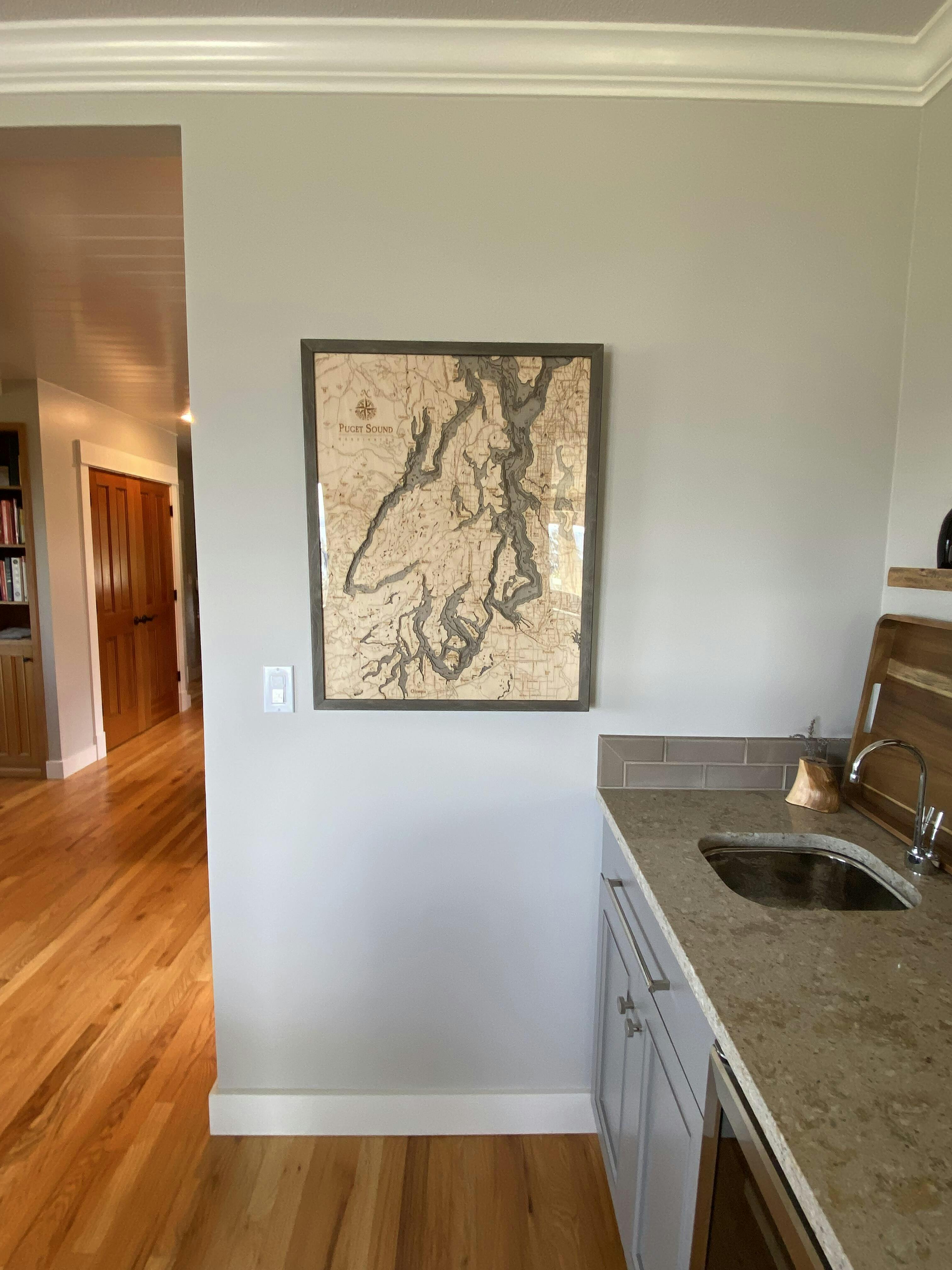
Puget Sound, Washington 3-D Nautical Wood Chart, Large, 24.5" x 31"
- Regular price
- $337.50
- Sale price
- $337.50
- Regular price
- $375.00
The waters of the Puget Sound are alive with rare and wonderful marine life! The bathymetry on this wood chart reveals the soaring depths rich with orcas, dolphins, and even the Great White shark. From the shoreline or on a ferryboat, the expanse of this estuary provides a wide range of wildlife to see.
As the second largest estuary in the United States, the Puget Sound is a mixture of saltwater from the Pacific Ocean colliding with the freshwater from the surrounding watershed. The bathymetry of this 3D wood map details the depths and shallows where the waters ebb and flow, creating the perfect conditions for a thriving ecosystem. The topography of the land surrounding the sound is intricately etched with points of interest, providing a nautical roadmap to the must-see sites on your journey.
Points of Interest on the Puget Sound 3D Wood Map Include:
Balabridge Island, Belfair, Dupont, Edmonds, Gig Harbor, Olympia, Seattle, Silverdale, Skokomish, and Whidbey Island
- Made of high-quality birch
- Solid wood frame made to fit
- Laser-cut depth
- Engraved names and locations
- Acrylic glass protection
- Arrives ready to hang
- Dark Brown Frame, Greenish Blue Water
- Rustic Grey Frame, Greyish Blue Water