WoodChart
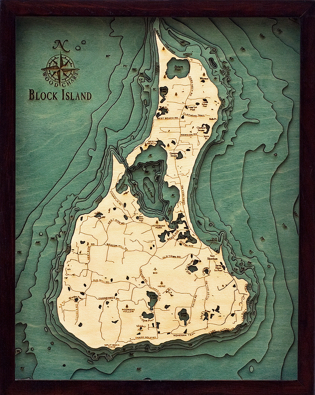
Block Island, Rhode Island 3-D Nautical Wood Chart, Small, 16" x 20"
- Regular price
- $169.00
- Sale price
- $169.00
- Regular price
From rock-faced cliffs that reach the ocean below and the luscious green meadows that surround the island’s quaint town, Block Island is as picturesque of a New England vacation town as you can imagine. It’s easy to see why the Nature Conservancy calls this retreat one of the Last Great Places.
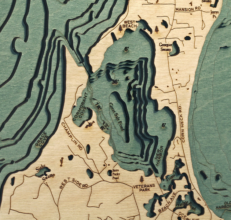
Known as Manisses, or “Island of the Little God” to the Narragansett Indians, nearly half of Block Island is a dedicated wildlife preserve while just over one thousand full-time residents inhabit the other half. Our 3D nautical wood map showcases the island’s shorelines and points of interest, including Old Harbor, Great Salt Pond, and Rodman’s Hollow.
Our wood maps are artistically made with high-quality Birch and are available in various sizes. Once the laser-cut layers are formed, an artist hand-stains the area depicting water on the lake art before etching in points of interest, roads, and landmarks. The lake art is finished with one of two frame choices, and then a piece of durable, ultra-transparent acrylic is added for protection.
Display this incredible wood map in your home or office and dream of ways to escape to the beauty of Block Island.
Points of Interest on Block Island Map:
Old Harbor, New Shoreham, Mohegan Trail, Rodman's Hollow, Whitman, West Beach, Heinz, Great Salt Pond, New Harbor, and Sachem Pond
- Made of High-Grade Birch
- Solid wood frame made to fit
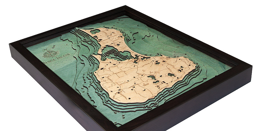
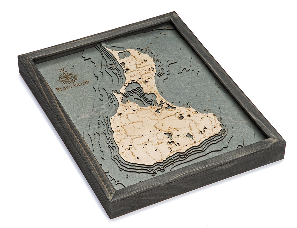
- Laser-cut depth
- Engraved names and locations
- Acrylic glass protection
- Arrives ready to hang
Frame Styles:
- Dark Brown Frame, Greenish Blue Water
- Rustic Grey Frame, Greyish Blue Water


