North Carolina Maps

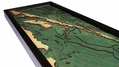

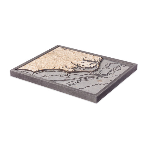

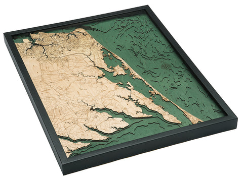
Explore the stunning coastline and waterways of North Carolina on these intricately etched wood maps. From the majestic details of the Outer Banks of a North Carolina map to the depths of Lake Norman, the Tar Heel State is second to none when it comes to life on the water. Trace the roadways and examine the points of interest on these wood charts to discover quaint treasures along the North Carolina coast to historical sites surrounding Kitty Hawk.
Let your eyes take in the depths and shallows of the waterways that border the state, reach inland, and surround the barrier islands along the coast. The bathymetry is carefully etched with the depths reflected numerically alongside the name of each body of water. The topography of the land is crossed with highways and byways that connect your favorite destinations, engraved in detail to inspire future road trips and help you recall fun times along the shore.
Expertly framed and ready to hang, each wood map will be a statement piece in your home or office. A thoughtful gift for any North Carolina enthusiast, this 3D lake art will bring the feeling of home to any space. Bring home all the North Carolina wood charts to add to a nautical art collection.